
The Local Studies Library has several plans of central Bradford similar to this one. This one is labelled ‘Borough of Bradford’ and I assume was produced by the Borough Surveyors Office. Examples may be annotated; this one states ‘duplicate’. They are not usually dated. In this instance the fact that the Wool Exchange is called the ‘New’ Exchange puts the map in the late 1860s I assume. It does not show the Town Hall so it must pre-date 1873.

Plans of this type normally show some areas which are labelled or over-printed. This second example is from an undated plan labelled ‘Ratcliffe v Corporation’. Possibly the indicated areas are needed for compulsory purchase or road changes. I assume Bradford Corporation had a stock of the parent map which could be modified as needed.
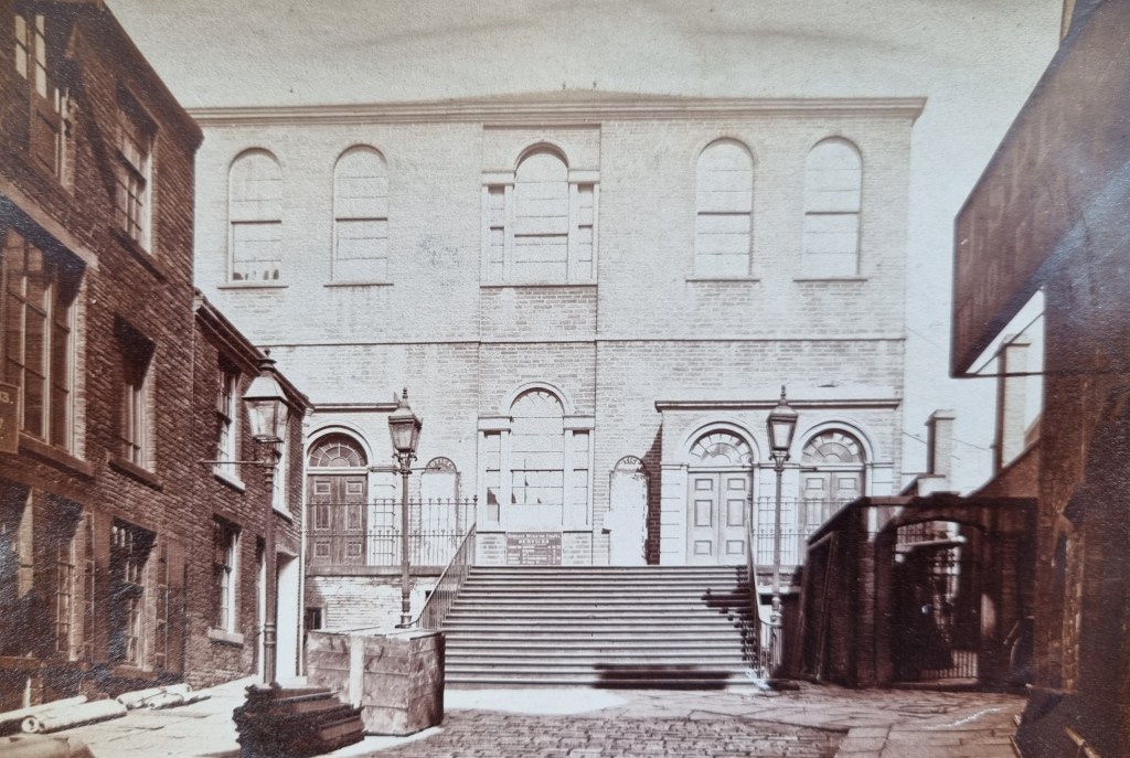
I don’t understand the labelling policy. Public services like the Railway Station, Post Office and Police are indicated. Two centres of Anglican worship (Christchurch and St John’s) are clearly identified. Several non-Conformist churches are at least dignified by the label ‘chapel’, but not Kirkgate Chapel then the centre of Bradford Methodism (illustrated).

Public houses, then often business conducting centres, get very fair treatment but even in this category there are omissions. Where is the White Lion in Kirkgate for example?
I thought that I might use this plan as the basis for a walk around mid-nineteenth century Bradford using images in the LSL reserve collection to illustrate some significant buildings. There are practical difficulties of course; most photographs are likely to be later than the plan and would not in any case be exactly contemporary.

Above the ‘Kirk’ in Kirkgate are six rectangles: these represent a Fruit & Delf Market. The unlabelled square above that is the old Manor House. The illustration shows it after conversion to a temperance hotel; it wouldn’t survive much longer.

Walking up Darley Street and into Duke Street brings you to the old Theatre Royal. I’m not sure when this was built; it is not present in the Town Plan for 20 years earlier. When it finally shut its name was taken by the theatre in Manningham Lane where Sir Henry Irving gave his last performance.
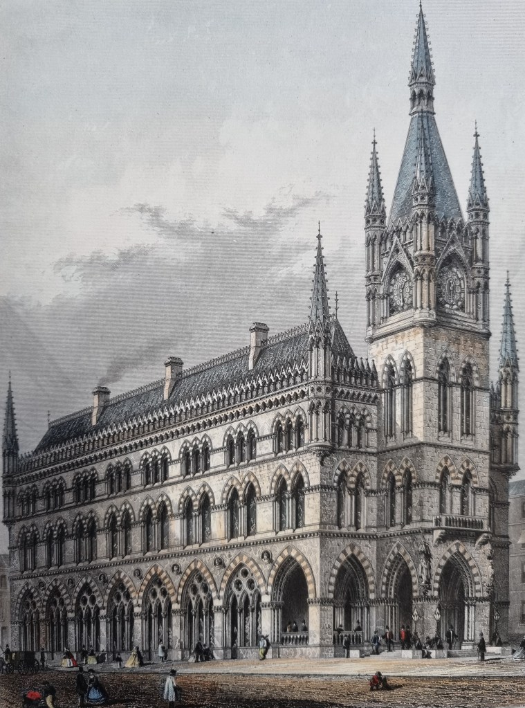
Walk back down Piccadilly and Piece Hall Yard until you arrive at the Wool Exchange. When I put this image of the Wool Exchange on-line an astute observer pointed out that there were several differences from the building we have today. Perhaps this image was an architect’s drawing or an artist’s impression.

Walk along Market Street and turn right. The LSL has good images of the eighteenth-century Bowling Green Hotel (above) and the Sun Hotel (below).

From photographic evidence it appears that towards the end of its career the Sun Hotel was converted to various business premises. It is said to have occupied the site which was later used for the brick Prudential Assurance building in Ivegate (1895).

Turn left into Tyrrel Street and proceed until you reach the New Inn. I arrived in Bradford in 1979 and don’t remember this building but from the photographs available it would seem to have survived until the 1960s.

Turn left into Chapel Lane. The library has illustrations of the business properties here, and also the Unitarian Chapel. Below I have used an illustration of the first chapel but in 1867-68, contemporary with the map, a new chapel was being constructed to the design of Andrews & Pepper. This was itself demolished in the late 1960s to allow space for the new Law Courts.

Finally, note that the area south of the New Wool Exchange in Market Street contains one of the two Swan Inns. This one must have been demolished in the creation of the Swan Arcade and I assume provided the name for the retail centre. I wonder if in later years people missed it dreadfully, as they later did the Arcade. But today even nostalgia isn’t what it used to be.
