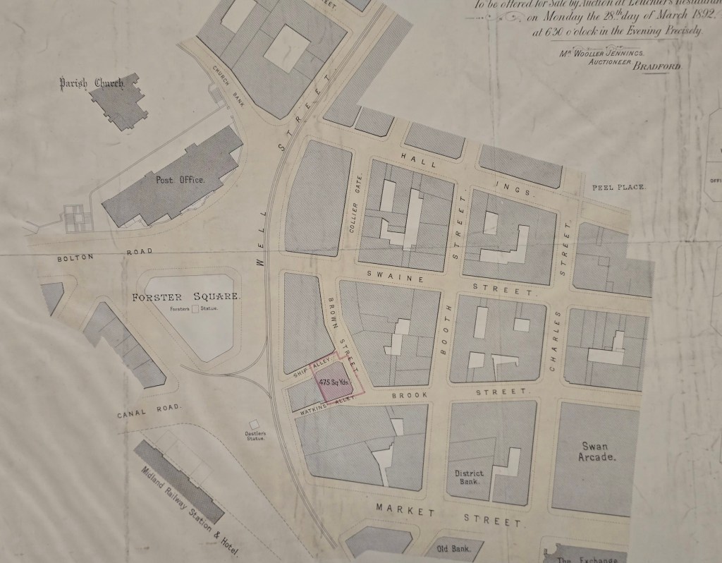
The last map, dealing with the Low Moor supplied coal staithe, attracted some highly interesting and informative comment from local historian Kieran Wilkinson. From his own study of maps and newspaper reports he demonstrated how difficult it is to obtain an exact date for a less than historical event, such as the closure of a coal yard. He believes that Foster’s Building, which was built on the site of the coal staithe, was opened in 1857. I hoped, as a thank you, I could find another Local Studies Library plan showing this area. The selected item was devised for the sale of a wool warehouse between Ship Alley and Watkins Alley.
The plan does at least have a definite date, March 1892, this being a generation after the end of the staithe. This had formerly been enclosed by Hall Ings, Well Street, Swaine Street and Collier Gate: the solid block at this location in the present map must then represent Foster’s Building. Kieran wondered if the presence of the coal staithe gave rise to the abutting road being called Collier Gate. This does seem highly likely although there is some evidence that coal was mined nearby in the area which became Little Germany. One of the Library plans of this area (1830s) is annotated on the back as ‘Colliers Close’. I have found no other record of this name, but it is perfectly credible since Roberts reports that building on some of the Little Germany sites was difficult because of old mine workings.
Several other street names are easily explained. In 1824 Rev Godfrey Wright began to build Waterloo market in Hall Ings. He may well have had public support, but the Lord of the Manor warned him by letter of a potential infringement of his manorial rights, and later commenced a legal action. This case was Rawson v. Wright, which, in 1825, Godfrey Wright lost. He was forced to pay notional damages of one shilling together with legal and demolition expenses. As a result, he (or his agent) seems to have sold off the land in this area for development and created the road network. Booth and Swaine are the family names of Godfrey Wright’s ancestors, from whom ultimately he derived his considerable wealth. Charles was his own middle name and the first name of his eldest son. I can’t link Brown or Brook in this was though, and Ship Alley sounds as if it was named after a public house. I’ve drawn a total blank on Watkins Alley.
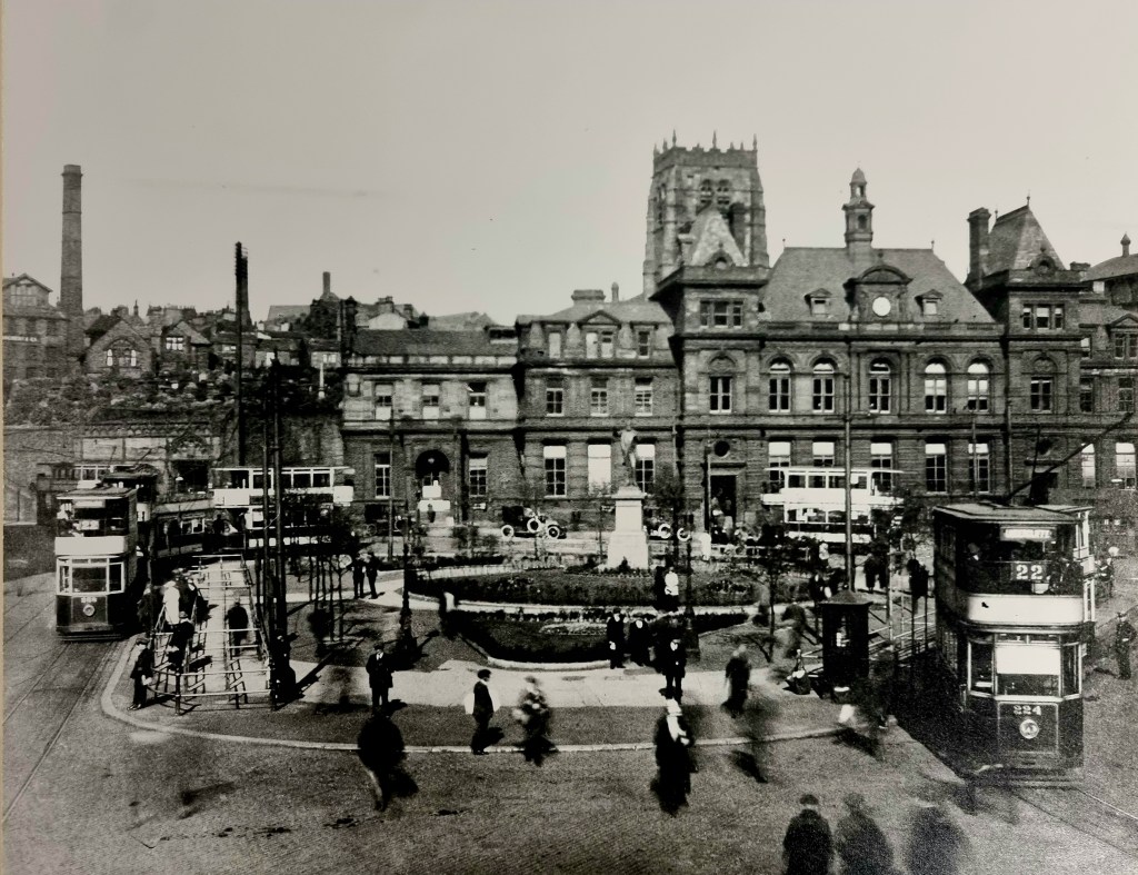
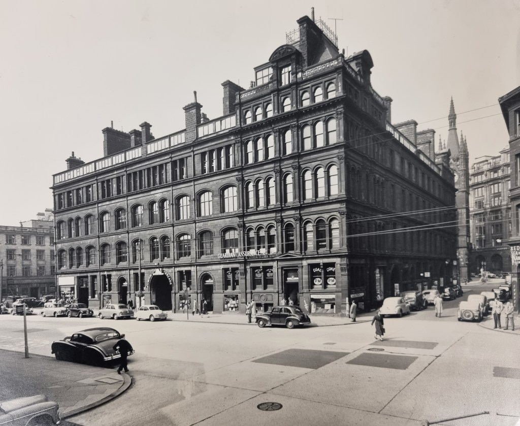
The plan has many other interesting features such as Forster Square, the General Post Office, the original site of the Oastler statue, Peel Place (the original location of the Robert Peel statue) and the much-lamented Swan Arcade. I can show some of these in illustrations from the LSL’s collection.

I must not forget that the purpose was the sale of a wool warehouse, and there is an attached floorplan of this.
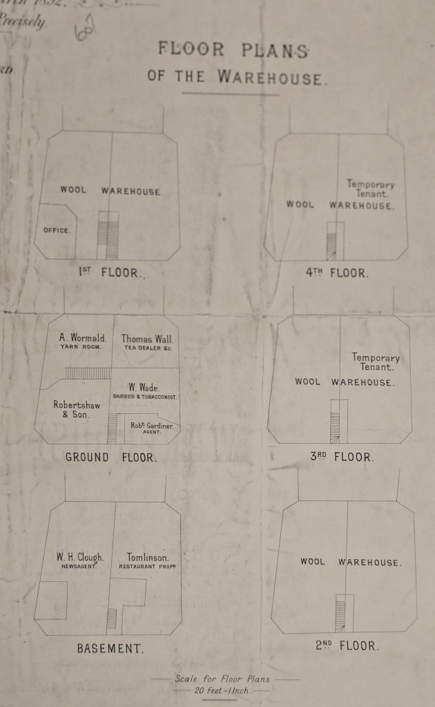
To be honest I don’t find floors 1-4 very gripping, but the basement and the ground floor are a different story. Walking down the stairs to the restaurant might have been quite exciting. Having a ‘tea dealer’ in Bradford, as opposed to Mincing Lane, seems rather sophisticated. Finally combining the trades of barber and tobacconist must have called upon a certain flexibility of mind, although in the PO Directory 1898 only the tobacco is mentioned. The same source mentions the Bradford Daily Argus office: was this WH Clough?
