2.97 ECC 1847 ING
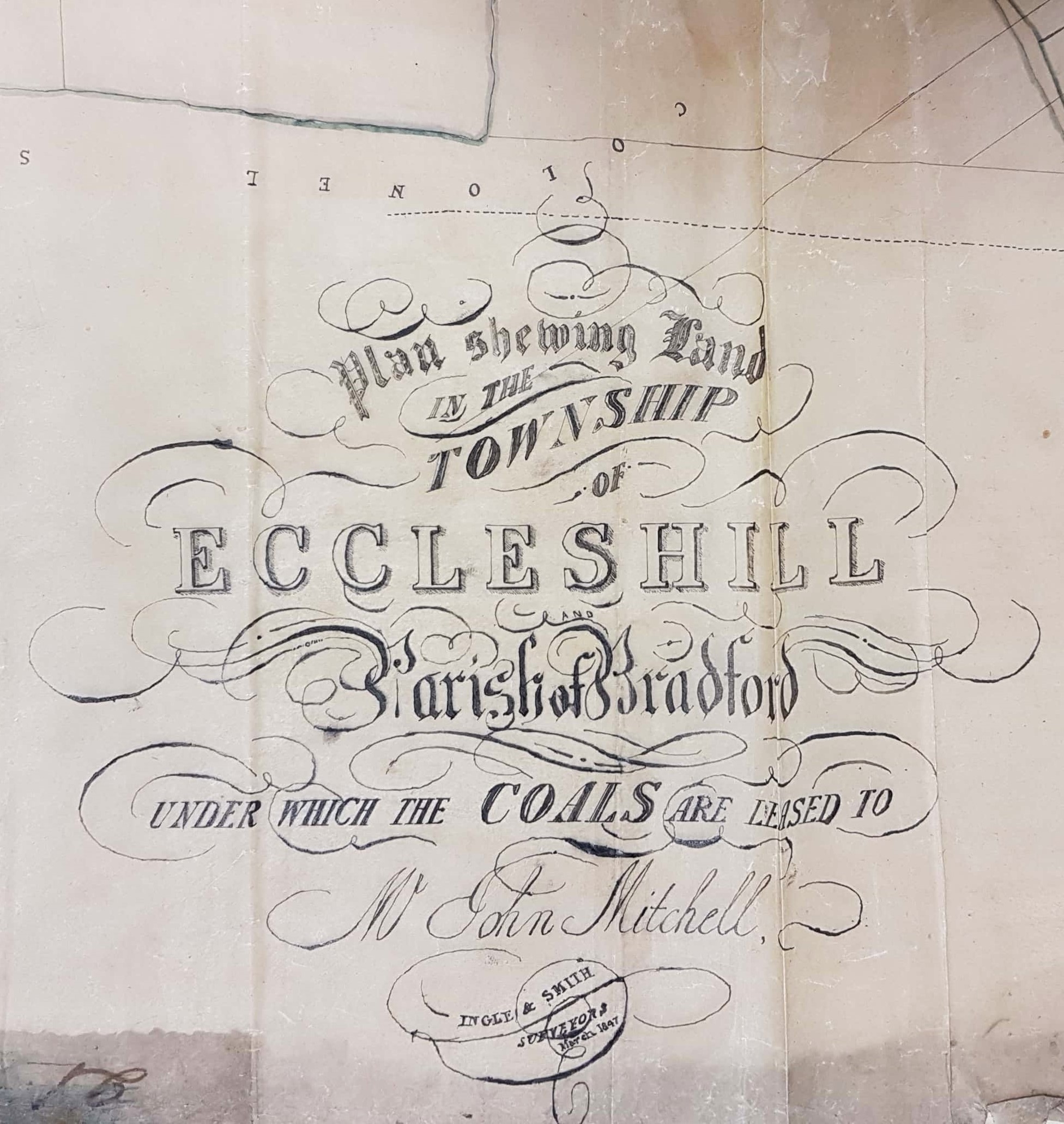
Eccleshill, Coals leased to Mr John Mitchell (Ingle & Smith, surveyors)
Material: tracing paper Scale: unk Size:110*96cm Condition: very poor
In the LSL reserve collection is a very damaged mid-nineteenth century plan of the Eccleshill and Greengates area. In many ways it is an ideal map for study. It has a firm date (1847) and a definite purpose, the identification of mineral resources leased to a specified individual. The names of the surveyors are included and the map’s date is close enough to the first Ordnance Survey, conducted in the late 1840s, for external checking to be possible. Local historian Ken Kenzie told me that at this date John or Jonathan Mitchell was a coal merchant who lived at Eccleshill Bank. He ran Park Pits which were sold in 1860 when he was in his 70s.
As background information I should say that the whole of Eccleshill was once extensively mined for coal, and quarried for stone and fireclay. This is now quite hard to believe but mining features are commonly seen on nineteenth century maps of the district. The coal seams that could be accessed included the Hard and Soft Beds (sometimes called the Upper and Lower Beds) which were widely exploited all over north Bradford. Above these in the geological sequence was the important stratum of sandstone called the Elland Flags, which was extensively quarried for flags and stone ‘roof slates’. The well-known George Vint, with his various partners, owned large quarries in nearby Idle extracting this valuable rock. Modern geology maps suggest that the centre of Eccleshill was high enough to include the Better Bed coal and fire-clay seams, positioned above the Elland Flags. The Better Bed was also extensively mined as coking coal in south Bradford for the iron-smelting industry at Bowling and Low Moor. William Cudworth, in his account of Eccleshill, mentions the Better Bed, and also an associated fire-clay and brick making industry based at Manor Potteries in Eccleshill.
The condition of this tracing is very poor indeed but I hope that a series of photographic images will illustrate some of its interesting contents. I have to explain that all the usual surface features are found: roads, houses, farms, field boundaries and land-owners names. A complexity is introduced by the presence of underground features also: these include mining galleries and geological faults (galls). The following section is a good introduction:

Through the creases you can see the junction of the Shipley and Bramley turnpike (New Line & Leeds Road) with the Dudley Hill & Killinghall turnpike (Harrogate Road) at Greengates. To the right is a large pond which I assume was fed by the Haigh Beck and supplied the named Thomas Dalby & Co, at Albion Mill. The mill building is still present although the pond has long gone. Many of the houses in the central section also survive. I’ve struggled to find ‘Dr Frobishaw’ the local land-owner. One local householder told me that an ‘Amelia Frobisher’ was linked with her property in the early nineteenth century. A Joseph Frobisher MRCS lived with his wife Amelia in Knaresborough at this time. He advertises himself as senior surgeon to Harrogate Bath Hospital; he could be our man.
Above the pond there is the slightly truncated name of another local landowner, James Atkinson Jowett. Atkinson-Jowett (1817-1886) owned the Clockhouse Estate, Manningham. The Clockhouse name survives as one of the Bradford Boys’ Grammar School buildings. He was the son of Nathan Atkinson-Jowett. Both men changed their surname from plain Atkinson in the 1860s in order to claim the large Jowett property inheritance. George Baron, of Drewton in the Wolds, was an earlier possessor of the Clockhouse who inherited the estate from Sarah, last of the original Jowett family: he died in 1854. The West Yorkshire Archives (Bradford) has a huge collection of Jowett family documents (10D76/3/190). In box 6 of these is a lease dated 1842: ‘George Baron to John Mitchell, Eccleshill’. This document is a 28 year lease of Upper Bed and Lower Bed coals in the area of Greengates, Eccleshill. The price seems to be £60 per acre and this is the correct area. But there is a problem. This map is dated 1847 but at that date George Baron not James Atkinson-Jowett would not have been a land-owner. Clearly the map under consideration has been amended to keep landlords’ names up to date.
The field outlined in red has the name ‘Mrs Ellison’ attached to it. In the next generation a Francis Beaumont Ellison operated a firebrick works in Eccleshill. Could ‘Mrs Ellison’ have been his mother or aunt? Just possibly: in the 1851 census Mrs Mary Ellison was a coal proprietor’s wife living in Birkenshaw. If you continue up the map you will encounter ‘galls’ or geological faults and the faint linear marks of galleries that end in a square feature marked as ‘A pit’. I don’t think this was a simple indefinite article but more probably local shafts are being identified by letters. The pit is also present on the 1st OS map and the nearby extraction track services other mines further up the hill. You can see that land-owners in this area are the incumbent of Bramley and a partnership called ‘Frobishaw & White’. Is this our Dr Frobishaw again? In any event I cannot track this pairing down unfortunately.

The next section of the map we have turned round 180º and are on Eccleshill Bank looking down-hill. The track placed top left is Rockwell Lane and if you continued along it you would eventually reach the pit mentioned in the first section. In the left centre of the map is High Averincliffe, also spelled Averingcliffe. Above and to the left is what appears to be an unlabelled pit, but one not present on the first OS map of the area. It is on the land of Colonel Stott who is the largest land-owner represented here. Eccleshill Hall was built in 1713 and was the home of the Stanhope (later Stott-Stanhope) family. As far as I know Lt.-Col. George Stott-Stanhope was the last family member to actually live there. As a substantial landowner his name frequently appears in maps of Eccleshill. He died in 1874 and the hall was demolished in 1878. The upper half of this section is a dense network of mining galleries. Among the other land-owners the surname White appears once more, and a Mrs Limbert.

In the final section we have moved slightly further east although the terrace on Eccleshill Bank is still visible. The unnamed building half way up the left hand side is Low Averincliffe. To the lower right is the junction of Eccleshill Bank with the Dudley Hill & Killinghall turnpike at a point where the 1st OS map places the Forester Inn, unnamed here. Close to this point an interrupted line encloses another coal pit not located on the OS map. Roughly in the centre is a cluster of buildings marked ‘H.pit’ which is however present on the equivalent OS map. Surrounding this is a dense system of galleries and several galls.
