GNR BRADFORD GOODS YARD
2.168 BRA c1870 PLA
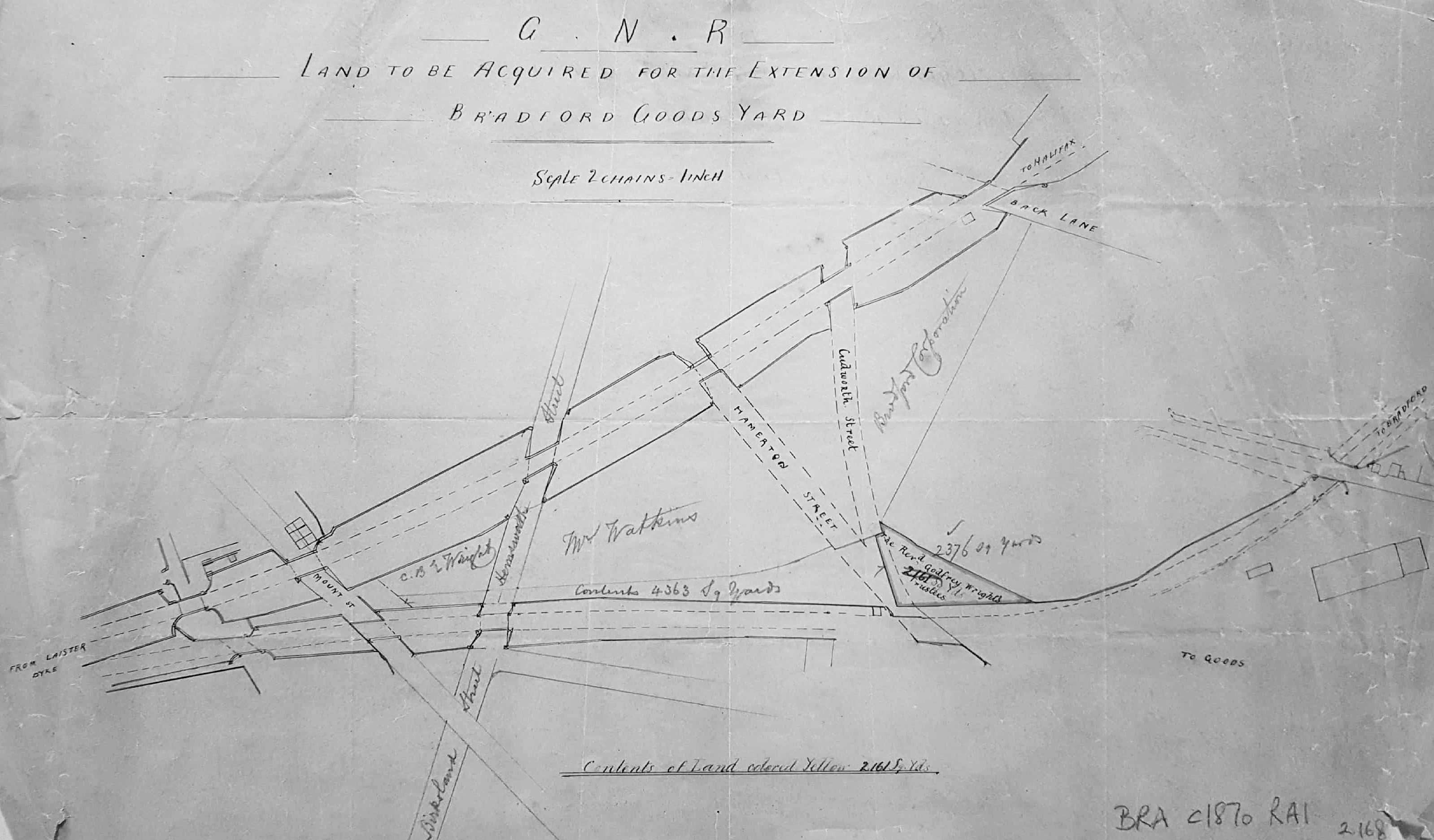
Plan of land to be acquired for a goods yard extension
Material: tracing paper Scale: 2 chains to 1 inch Size: 47*30 cm
Condition: fair
Keywords: GNR, Bowling, Birks, Railway, Wright
This plan shows the area between the beginning of Bowling Back Lane and south of the Bradford – Leeds railway track. The geographical north is at the bottom. Several landowners and street names are included as annotations. Hammerton Street survives and its presence is useful to orientate oneself. ‘Cudworth Street’, named I assume after the great Bradford historian, wasn’t constructed and by the time of the second OS map of the area (1889) it was the site of a corporation yard and immediately east of an engine shed. No date is present on the plan but the topography closely resembles the arrangement of the 1871 Bradford map.
The Rev. Godfrey Wright’s trustees are mentioned as the owners of the land to be acquired. Godfrey Wright was a large Bradford landowner who died in 1862, so the date of the map must be later than this. The area mapped was once north of the location of Birks Hall Colliery, probably disused at this time, and the Birksland Works.
